
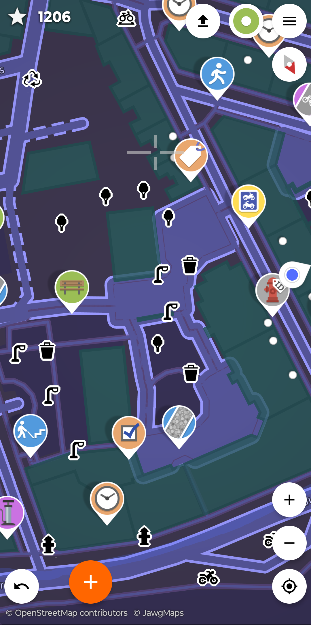
I first learned of Street-Complete here and I really like it.
It’s satisfying to walk around, complete little tasks, and get prizes, scratching a similar itch to Pokemon Go.
Stuck waiting for someone? Add opening hours for a few local businesses.
Have a long walk ahead of you? See if you can add/check house addresses as fast as you can walk.
Want to walk off a few beers before heading home? Complete some tasks in the bar street.
Its a very constructive way to “be right” on the internet.
I’ll always upvote StreetComplete.
I’ll always upvote upvotes of StreetComplete
I’ll always upvote upvotes of upvotes of StreetComplete
I’ll always upvote.
Oh that sounds funny! Having a walk and doing something for the community.
Unfortunately it isn’t available for iOS. 🙁
StreetComplete to the polls
I don’t like the implication that Pokémon GO was bad when it got a ton of people to go outside and interact with each other. This is cool too though.
Just submitted a first update. Yay dopamine.
The open source community can thank me later. I’ll take a banquet and a linux distro named after me thanks.
(Seriously this seems fun - thanks for posting about it)
I love this app so much, also if you really get into it go to the open street map website and draw buildings, roads, etc to add missing places or update changes.
I cleared my whole walkable area of questions then added all the houses and it populates new questions about house number, shop name, etc which I then went and filled out while walking round. In the zone around me the open source map is now by far the best free to access map, Google house numbers are completely random and no where has upto data shops.
There’s also a lot of cool projects devoted to mapping under-served areas, especially in regions where aid workers need information or natural disasters have changed landscapes. You draw in roads, towns, farms, etc based on areal imagery.
